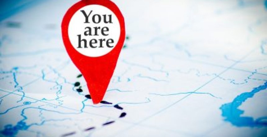
We all do a lot of travelling, whether it is for leisure or for business, we need to know where we are and where we are going. So here are some useful sites that help us convert from one mapping system to another.
Grid Reference Finder
Grid Reference Finder is a website that allows you to find out different locations by postcode; road/town; Grid Reference; X/Y; Lat/Long and what3words as well as using the map.
Here is Hastings Station, and I never knew that we had a road called Cuckoo Hill until today.
Being able to click on a place you want to visit, then being able to simply buy the Ordinance Survey map you want by the Grid Reference, or knowing the post code to send a letter if a bonus.
What3Words
What 3 Words is a website and app that gives your location using 3 simple words and is accurate to 3m x 3m. 40,000 random words provide worldwide coverage.
If you get into distress, you can quote the three words on the app to the emergency services and they will know exactly where you are in the world. You can also use the app to locate where those 3 words are, so it works both ways.
In Mongolia, they have started using what 3 words as their postcode system.
In addition, 3wordphoto is an app that allows you to take a photo of something somewhere and the 3 words will tag its exact location. So instead of having to give out an address or postcode, just showing the photo has enough information to get people to your event.
The API that what3words provides to developers can convert to and from lat/long co-ordinates and what3words has partnered with Allied to provide what3words through their postcoder system.
You can even tack the three words to the end of their web address and it will show you where that is on the map.
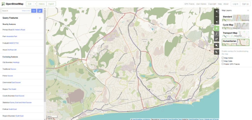
Open Street Map
Open Street Map is a community created street map which is crammed with features. You can click on Layers and toggle between Standard street map; cycle map; transport map showing train and bus route numbers and humanitarian, outlining parks and green spaces.
You can use the query function to find out more about a road and its boundaries; foot path numbers etc.
Additionally, if there is a new road or a mistake on the map, you can edit the map yourself. This helps to keep the map up to date. Unlike commercial maps, which use fake locations to prove copyright, an open map will always be correct because people don’t want others lost.
Waze
Waze provides a mobile app where users can actively report road problems as they drive. It helps the software re-route other drivers as well as calculate how long a delay to your journey could be.
Sudden road closures or accidents can be reported and the sat-nav may re-route your journey around these problems that other users will be stuck in.
Waze started its life as Freemap Israel in 2006 and used to be an independent company, but was bought up in 2013 by Google whose Maps product benefits from Waze users reporting road issues.
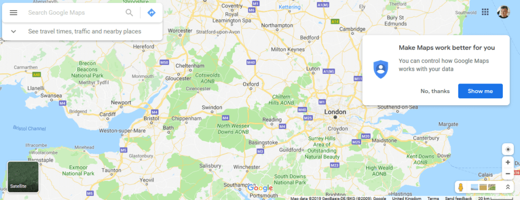
Google Maps
Google Maps is often the most reached for map app when on the Internet, as it is often the more accurate for finding a location.
Maps was an acquisition from a company called Where 2 Technologies in October 2004. Google also acquired Keyhole who made a program called Earth Viewer that became Google Earth.
You can customise your map on Google using tools, such as adding different location markers and text.
You can use post codes as well as lat/long coordinates to locate places on Google Maps.